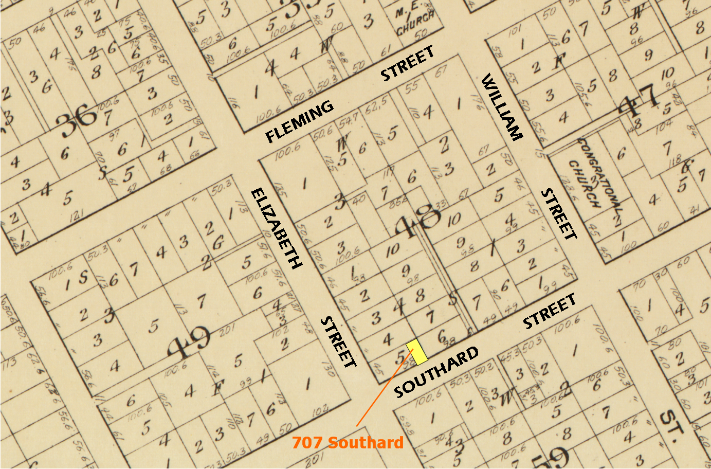
1829 Map of Key West showing Lots – 707 Southard is now the eastern portion of a 98 feet x 45 feet Lot
1829 Map of Key West by William Whitehead
Download the 581.3 MB tiff file for the entire map.
1884 Map Clip showing House
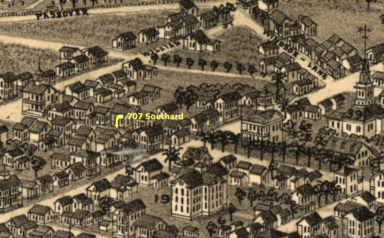
1884 Key West Map
Download the 159.4 MB tiff file for the entire map.
1899 Map showing House – Picture taken at Monroe County Public Library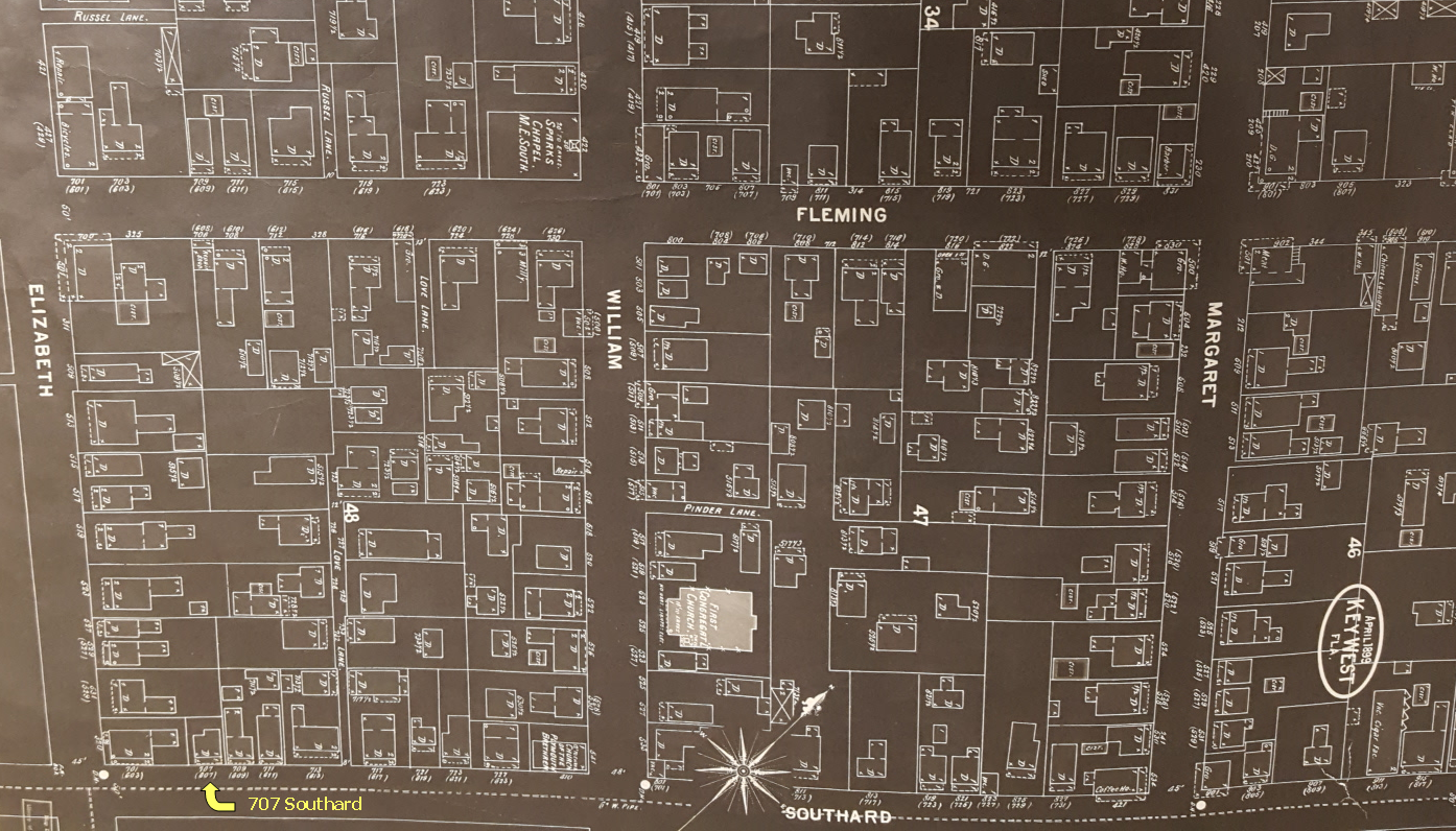
Property Appraiser photo of 1965.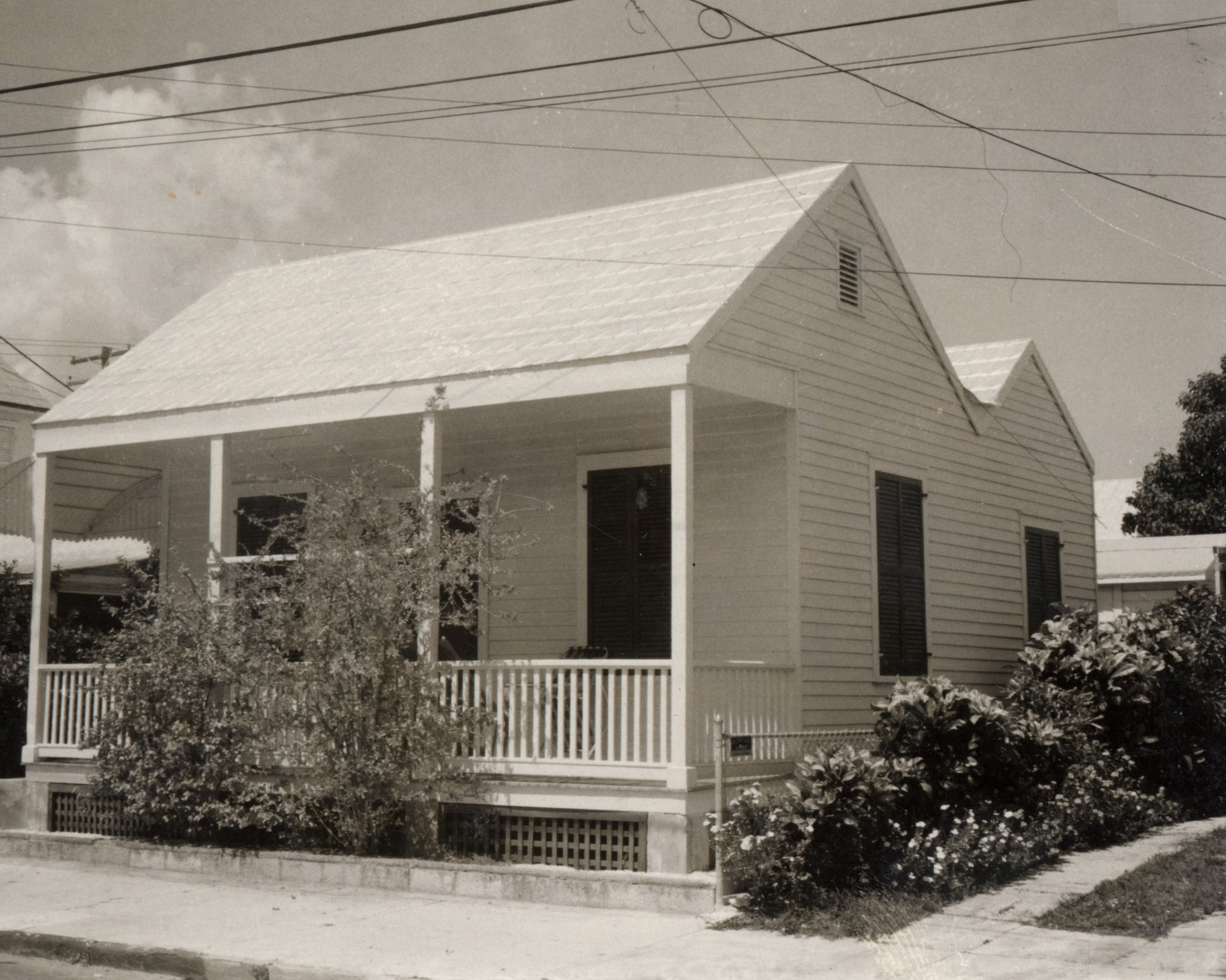
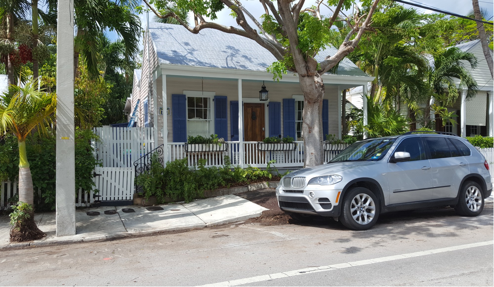
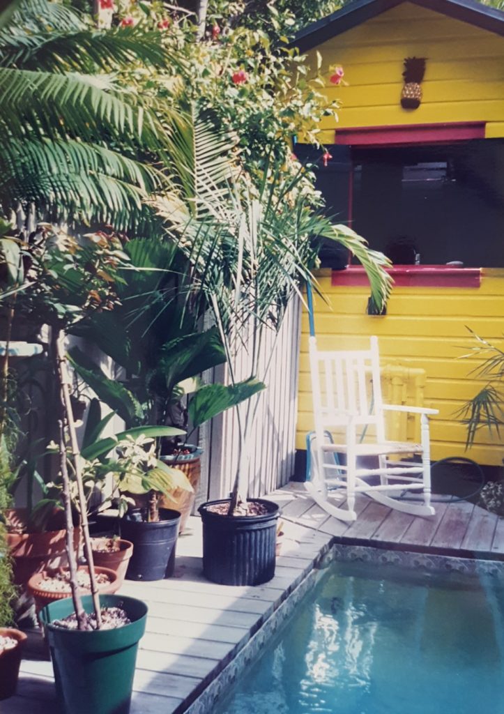
Southard Street Historical Photos
Featured in 1993 Book, “Mary Emmerling’s American Country Cottages”, Pages 70-77.
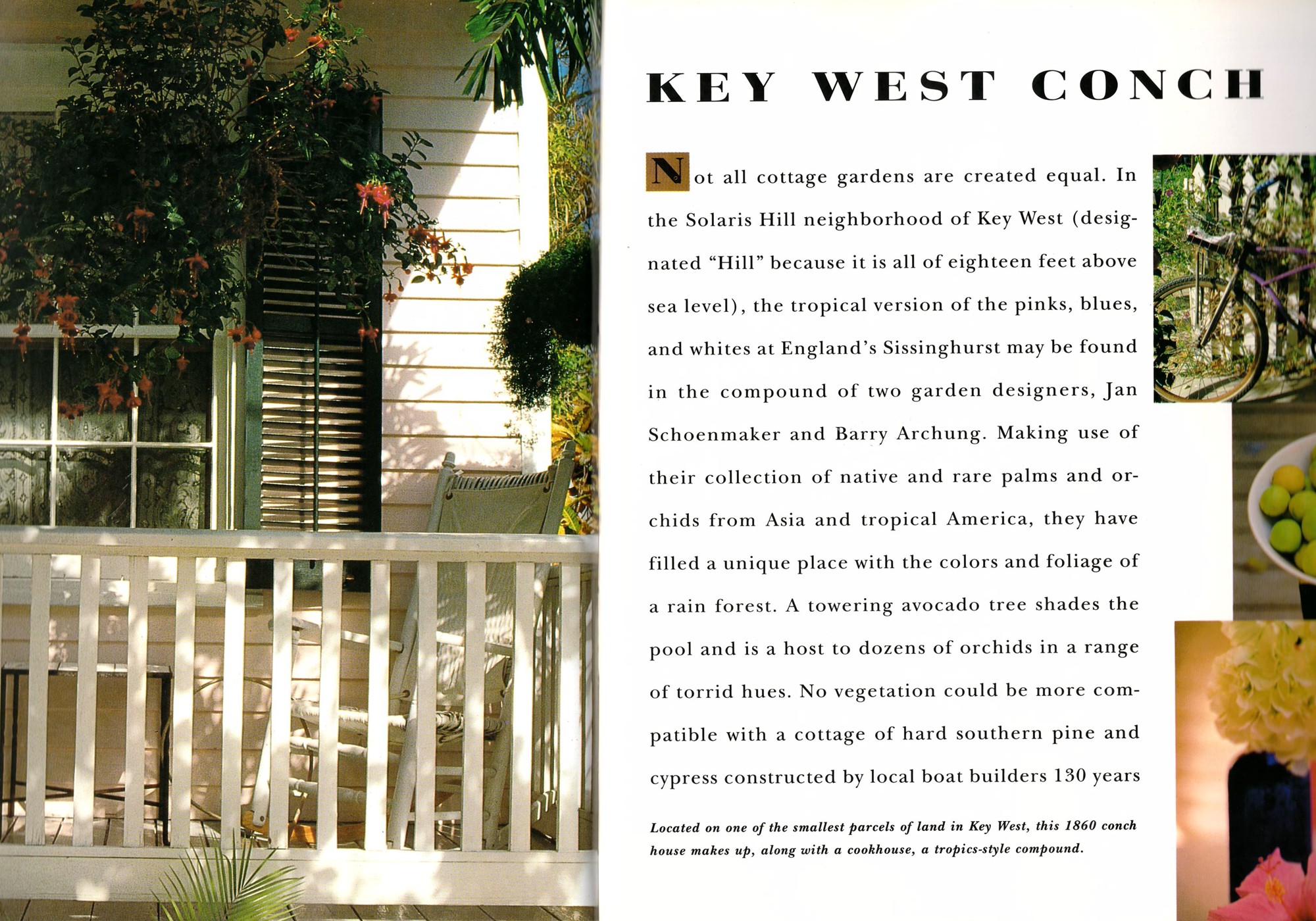

Featured in 2000 Book, “Key West Gardens and Their Stories”, Pages 61-62 by Janis Frawley-Holler.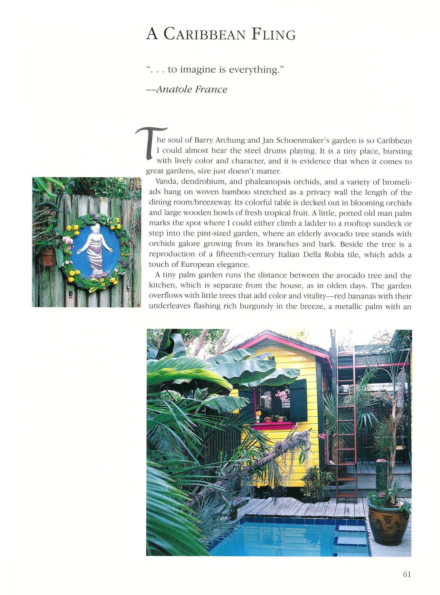
1995 Star Awarded by Historic Florida Keys Foundation
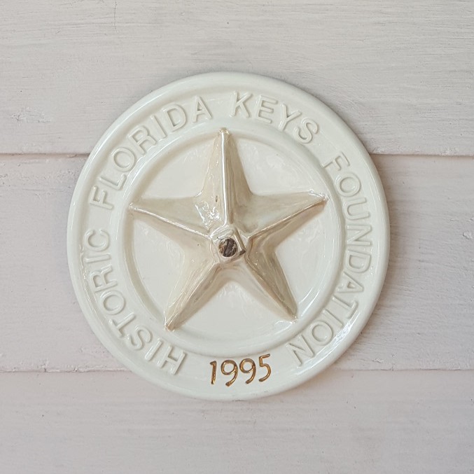
Historic Florida Keys Foundation – 1995 Application
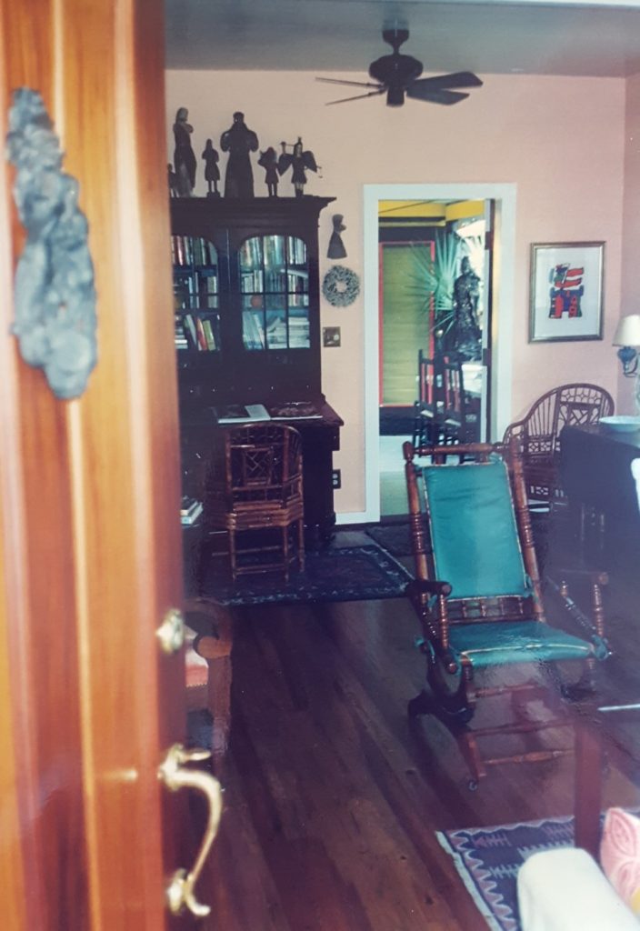
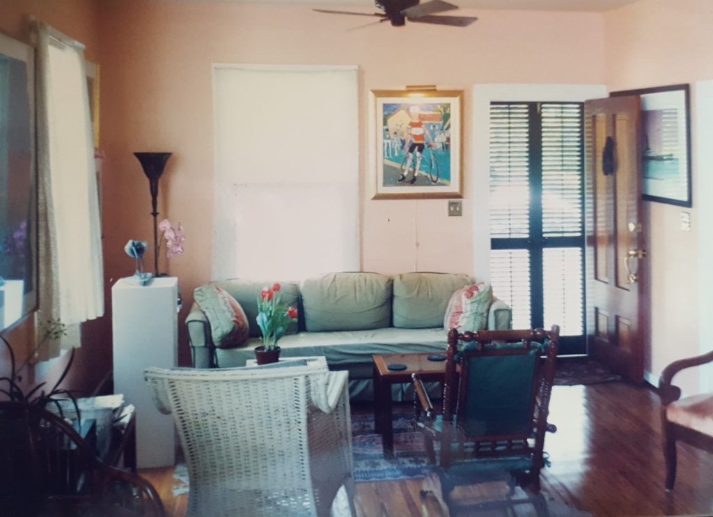
1995 Photos of 707 Southard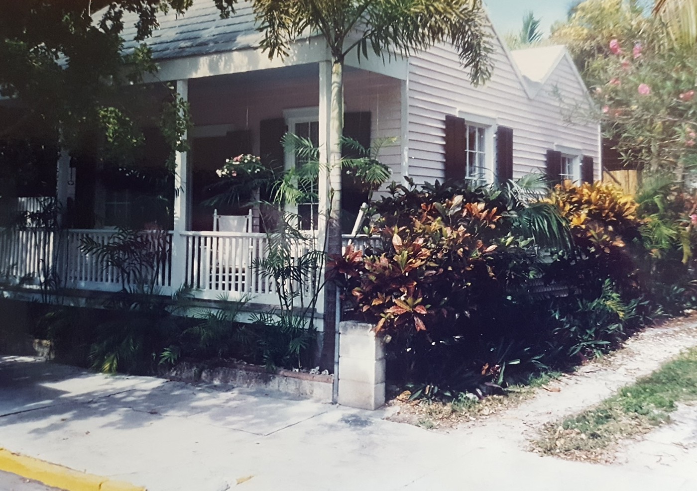
![]()